Lake district solo
Andy Polhill
Lengthy pre-amble
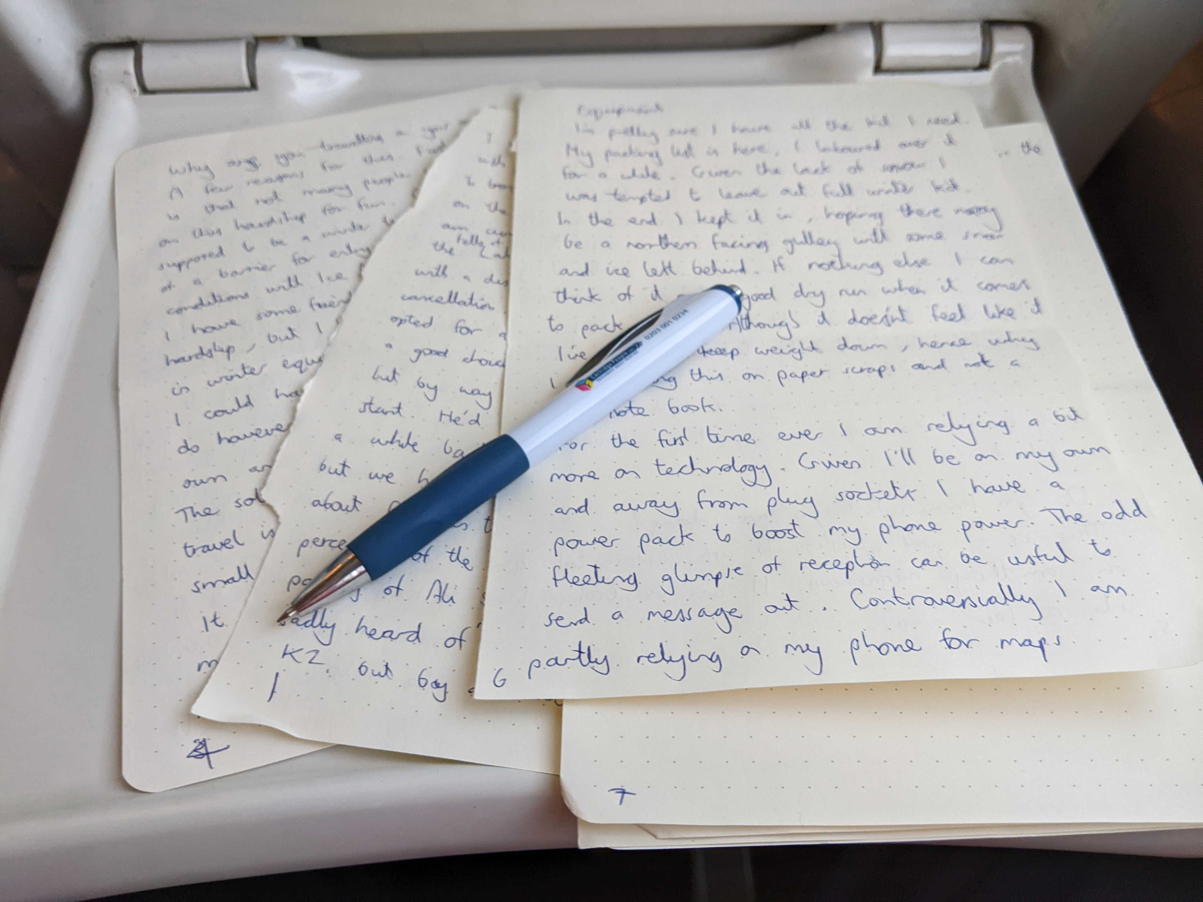
I write this not on a computer but with pen and tear outs from a notebook, like someone writing a ransom note from a horror film. I will attempt to transcribe what I write without labouring too much on the editing which is what normally slows me down. I am currently on a train to Penrith and eventually the fells of the lake district. It was a 5:30am start with a disappointing but not entirely unexpected train cancellation. Given the tight transfer times I opted for a taxi to Brighton from where I could get a connecting train. The taxi driver was a friendly character, originally from Pakistan but by way of South Africa, it made for a convivial start. He'd driven up to Egypt from South Africa a while back, different side of the continent, but we had a lot in common. It was great to have an open chat about Pakistan and the common perceptions of the west, we chatted about the sad passing of Ali Sadpara on K2. I had only started to be aware of him shortly before his death, but it still had quite an effect on me. Unexpected taxis aside, these are the questions I've been asking myself in the run up.
What is the plan?
In contrast to my usual trips there isn't much in the way of a formal plan. I have enough food and equipment to spend a couple of days out in the wild. Given it's the tail end of winter I didn't labour too much over objectives as so much would be dictated by the conditions. In the end it turned out that the winter conditions never really turned up in the Lakes this year. When I travel I prefer to take the train, the environmental impact is lower, I have time to read and write, If I'm tired I can just rest and watch the world go by. It does make getting around a bit harder though. Once in Penrith I'll take the bus to Keswick and there onwards to Seatoller. From there I'll head deep into the high fells. I hope to look in at the gullies of Great End to look for any remaining snow or ice. I did consider the Helvellyn range which is more accessible from Penrith. I had concerns that it wasn't a big enough area to keep me amused for two days. It's a long slog from Helvellyn to the Langdale Pikes and I'm happy to forgoe that again for a while having done it fairly recently.
I'll sleep out in my small tent tonight, or potentially take a detour up to Dubs hut if it looks like the shelter will be hard to find. From there I'll have the whole of Friday to take in summits and potentially tick off some scrambles, before another night under canvas. Saturday will be an early start with a focus on getting back to civilization and a 40th (+2) birthday in Manchester. Given I am travelling along I don't intend to take on anything too technical. Up to a grade 3 scramble but only if everything falls into place.
Why are you travelling on your own?
A few reasons for this. First and foremost is that not many people would want to take on this for fun. Given this was supposed to be a winter trip also creates a bit of a barrier for entry. I was hoping for full on winter conditions with ice axe and crampons at the ready. I have friends who are willing to take on the hardship, but I haven't persuaded them to invest in winter equipment and skills.
I could have decided not to go, but I do have past experience travelling on my own, and I know it can be very rewarding. The solitude and uncompromising nature of solo travel is underestimated and opportunities for it are rare. It was only while buying food and making some questionable choices that the reality hit me a bit harder. Why sleep outside on your own when you could be safely tucked up in a comfortable bed surrounded by your family. The feeling of apprehension had quite an impact, but it was a familiar feeling. The year before I travelled through West & Central Africa was punctuated by the same apprehension and self doubt. It permeated into so much of my consciousness that my dreams were controlled by it. That trip turned out to be one of the best things I ever did. If this feeling was familiar then hopefully that was a good indicator of what was to come. Granted this time round there was an extra layer of depth as I have a family who I am never great at leaving behind.
Do you know what you are doing?
I like to ask myself this question before doing something slightly hazardous. I can break it down into a few areas.
Equipment
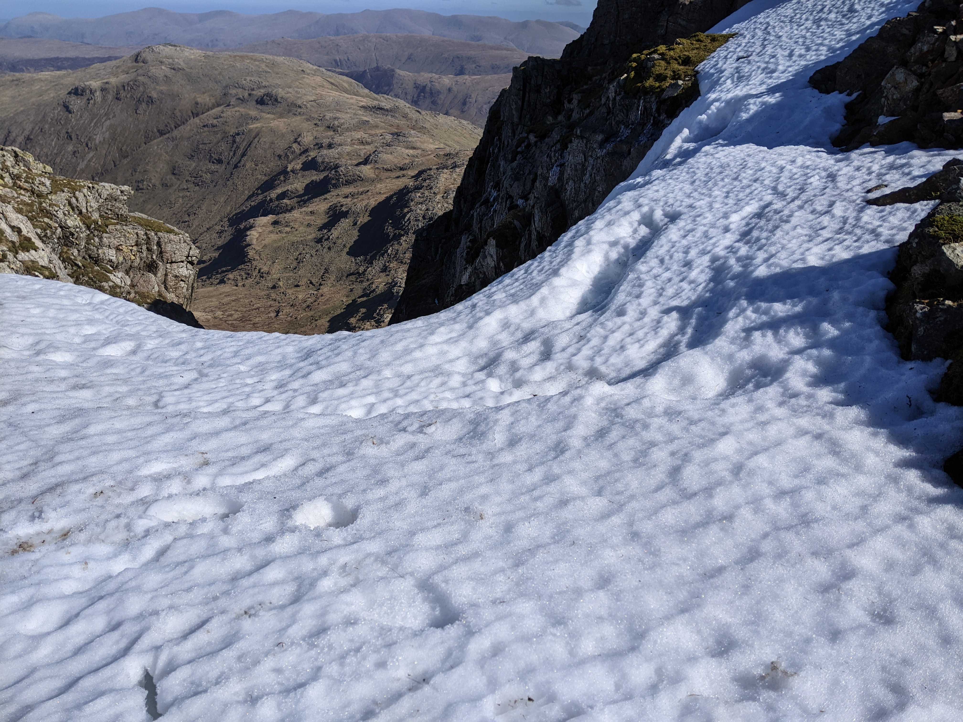
I'm pretty sure I have all the kit I need. My packing list is available here if you are contemplating something similar, I laboured over it for quite a while. Given the lack of snow I was tempted to leave out the winter kit. In the end I kept it in, hoping some of the north facing gullys may have a little snow and ice left behind. If nothing else I can use the experience as a good dry run for testing pack weight.
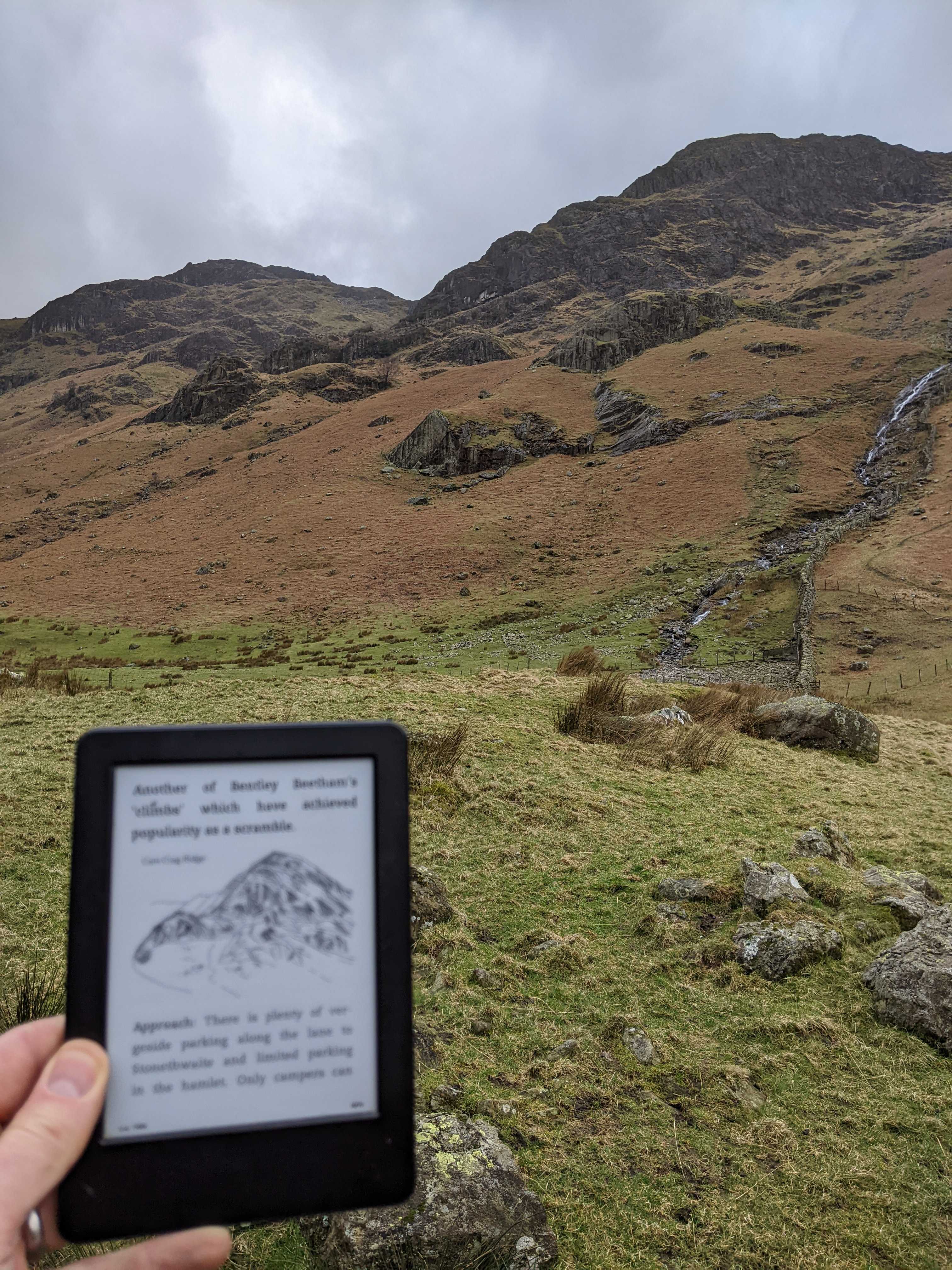
I am relying on a bit more technology than usual. Given I'll be on my own and away from plug sockets I have a power pack to recharge my phone power. The odd fleeting glimpse of reception can be useful to check-in with home. Controversially I am partly relying on my phone for maps. Anyone who has hiked much in the Lakes will know you need 4 maps to cover the area, this isn't great from a weight and space perspective (I did contemplate getting a custom map created). In the end I packed the two that I would most likely need and had the rest available offline on my phone. Lastly I have an e-reader, the nights are still quite long and having a book to keep me company will help to pass the time. I also have the North and South Lake District scrambling guides by Cicerone on there. They can be a bit painful to navigate but are much lighter than the physical versions.
Experience
I love and support the great work of the mountain rescue teams across the UK, but I'd really rather not meet them unless it was a social occasion. I would like to consider myself an experienced hill walker and to a lesser extent climber. I've taken at least 30 trips to mountains within the British Isles, summiting a good amount of peaks. scrambling Grade 3 and leading multi-pitch climbs of a respectable grade. I am less experienced in winter conditions, which is one of the drivers behind this trip. I have completed a week long winter skills course in Scotland and had a few smaller trips in North Wales. If I encounter any snow and ice I will take it very carefully. I have no qualms in backing off anything that is remotely sketchy. I should also add that my fitness levels are pretty ok recently. I've been running on a regular basis for a while and generally have quite good stamina walking in the hills.
Conditions
The conditions are key to any trip. I have been monitoring the Fell Top Assessors twitter account like a hawk all winter. It appears to have been a mild winter in the Lakes, meanwhile in Scotland they have been having a whale of a time. If there is any snow at all I'm expecting it to be old hard compacted snow and potentially thawing in the warmer temperature.
The weather today is going to deteriorate with time, with potential south westerly gales on the summits. If there is no wind shelter to be found at any level I will hightail it to Dubs hut and spend a cold but sheltered nught there. Friday sounds like promising conditions, with a full day I should have a good opportunity to bag a few fells and scrambles.
Why the hardship?
There are far better and more prosaic writers that have written about taking on voluntary hardship, I'm unlikely to do this justice. A bit of hardship has always kept me grounded. It reminds me to be appreciative of the things that I have. It reminds me that I can choose my own path and not compare myself to others in the more conventional games that we play. Hardship is also relative and can lead you to see beautiful things that would otherwise be unattainable. I don't really see this as hardship, although it probably will be uncomfortable at times.
Cam Crag Ridge -> Glaramara -> Styhead Tarn
https://www.strava.com/activities/6847090132
From Penrith I took the X5 bus to Keswick where I changed and caught the 78, eventually getting off at Rosthwaite.
I did buy a fish and chip lunch at Penrith Morrisons, but they took so long I had to abandon it before it arrived. Slightly disappointing, I'll be honest I was grumpy about that for quite a while.
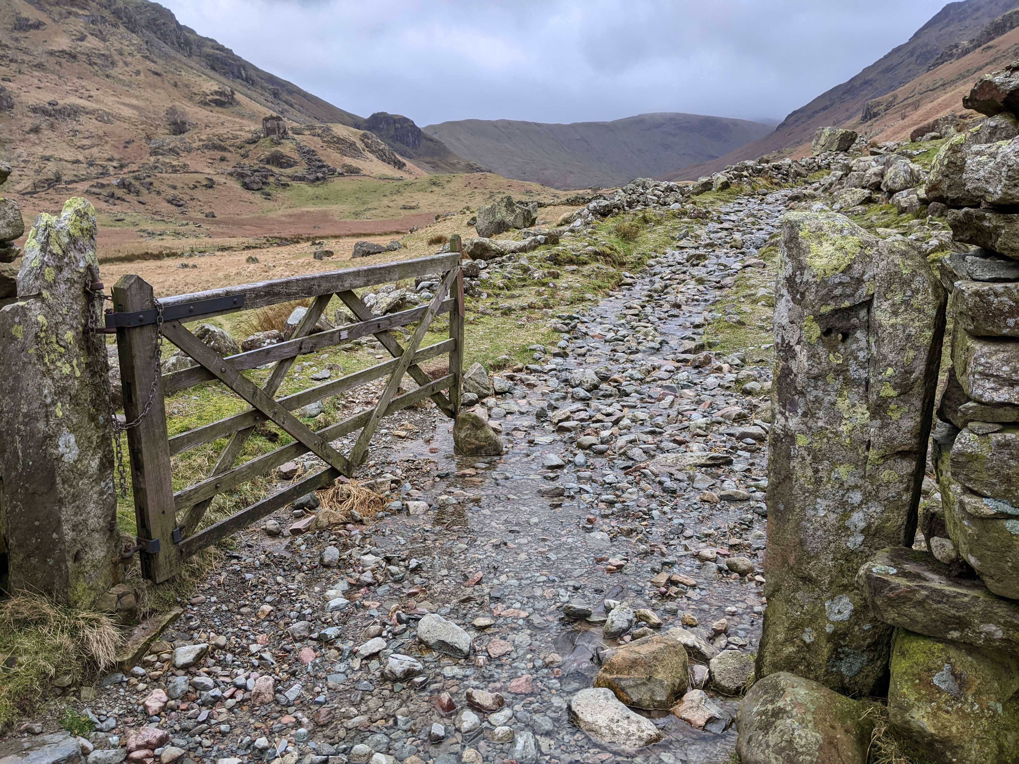
From Rosthwaite the route finding to Cam Crag ridge is pretty straightforward and the Cicerone guide covers it well. Be sure not to miss the turn off at Greenup Gill that takes you into Langstrath valley. Black Moss pot is a recognisable landmark and from there you can easily see up to the crag itself.
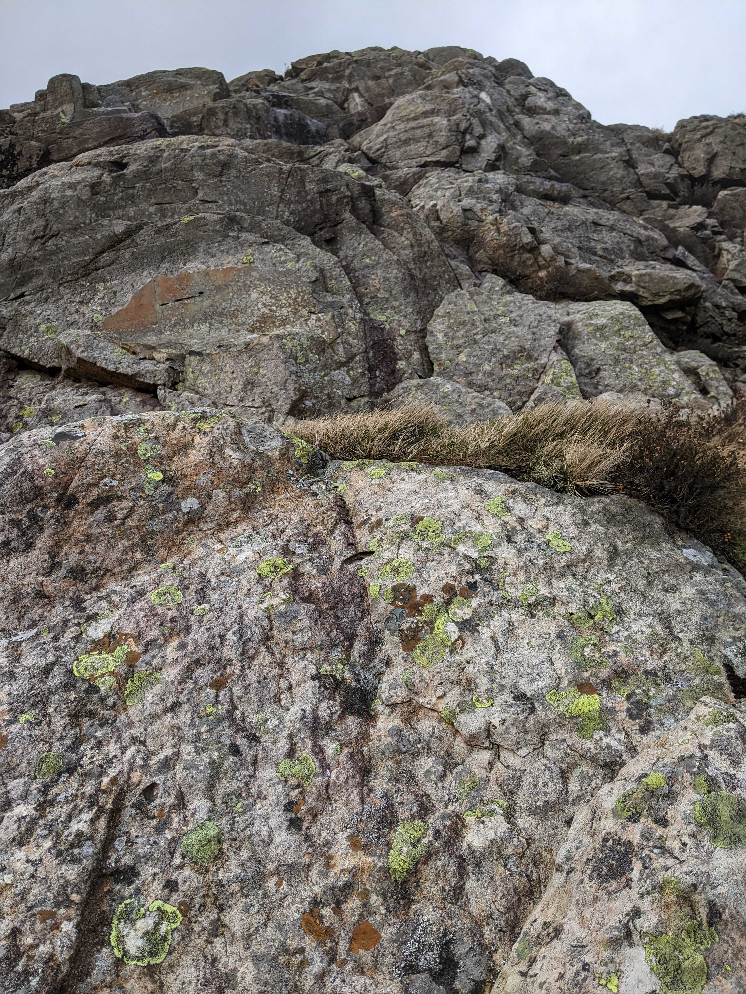
On the day the conditions were pretty wet, but the south westerly wind blowing up through the valley helped to dry that aspect quite well. I had a bit of a moment on the first part of the crag which was wet, slippy and particularly tricky. This knocked my confidence somewhat but after circumventing this small section I found the rest of the rock to be really great. I didn't feel the need to follow the more detailed guidance in the book as there were plenty of options for route finding. At times it felt slightly contrived as easy ground was generally within reach, but all in all it was a great scramble. Difficulties could be found out and there were plenty of good challenges to be found, well deserving of its three star rating.
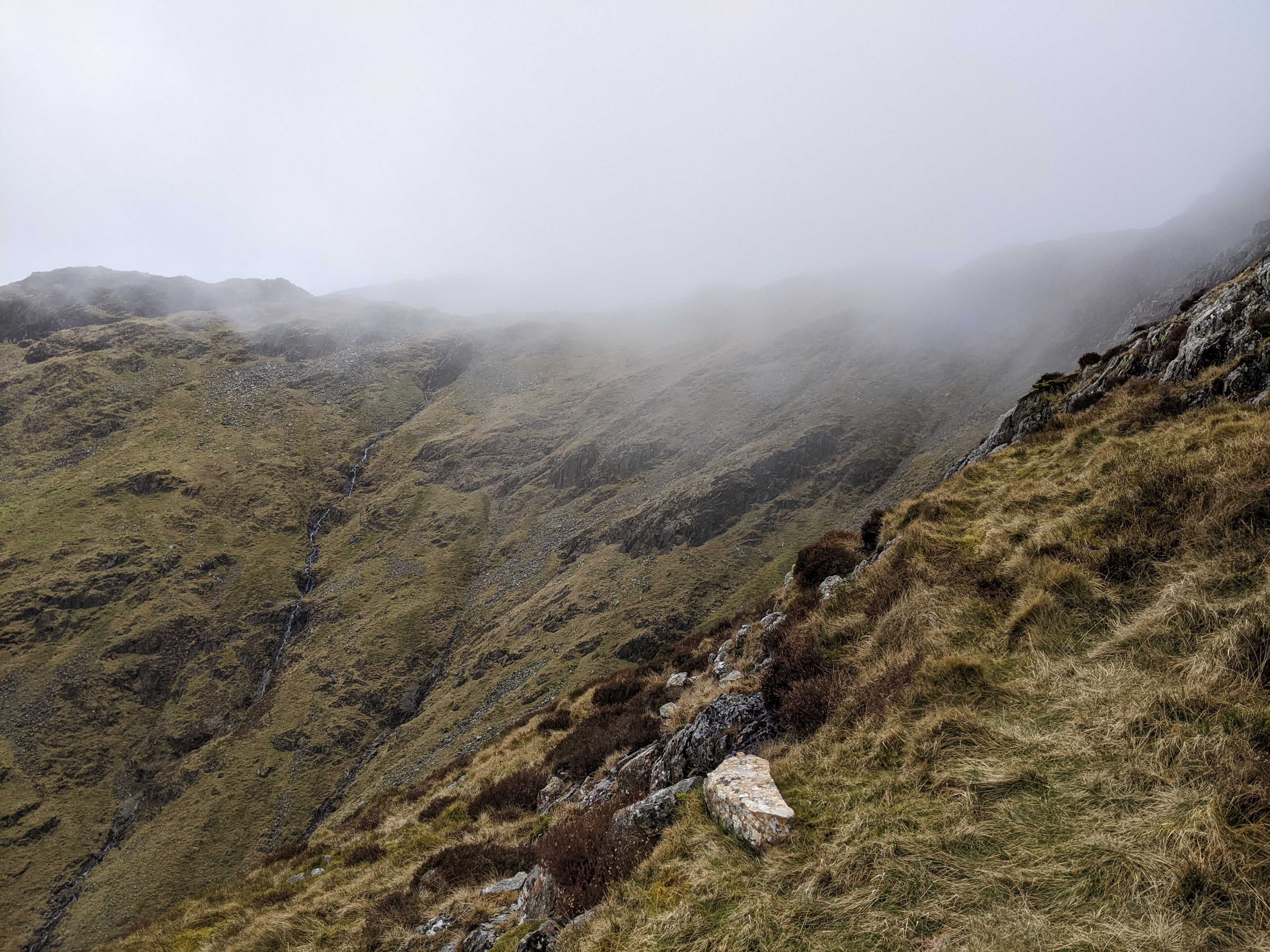
I reached the top just in time to see the clouds rolling in. I've had navigation difficulties on Glamara before and this sadly was going to be more of the same. Glamara has quite a broad summit plateau and I always seem to miss the major paths. I made the point of taking a compass bearing which helped me to join the main path up to the summit. At this point the visibility was really poor, the sleet was horizontal and there was less than an hour of daylight left. Navigating had become a tricky balance between pace and accuracy. Eventually there was a break in the cloud and a view down into Borrowdale. I decided to abandon my Sprinkling Tarn plans and just head down to what looked liked a dry spot. The descent was long, agonising and sopping wet, I ended up bum sliding the grassy parts. Once down it was a quick dinner, into some dry clothes and an uncomfortable slightly cold night.
Skew Gill -> Custs Gully -> Great End -> Esk Pike -> Bowfell -> Crinkle Crags -> Red Tarn -> Langdale Campsite
https://www.strava.com/activities/6847090132
Woke up to a lovely clear and frosty morning, perfect weather for a big day on the fells. After a quick round of porridge it was time to break camp and set on my way. I made extra effort to ensure there was absolutely no trace of my camping left behind. Certainly no camp fire or any other such madness.
My plan today was to head around to the north eastern face of Great End to look in at Skew Gill and Custs Gully, eventually summiting on Great End. From there the plan was to follow the long and obvious line to Esk Pike, Bowfell, Crinkle Crags and make a judgement on where to camp depending on how it goes.
Skew Gill was relatively easy to find. It's a great big cleft in the hillside located off the path that leads to Scafell Pike. Given the good weather there was a steady amount of traffic heading to Scafell Pike. It felt good to break away from the crowd and head up into the gill. The scramble up was enjoyable, I wasn't 100% sure I had the right gill which added slightly to the trepidation. There was some harder parts to scramble but even in the wet there were plenty of positive holds to feel confident on the move.
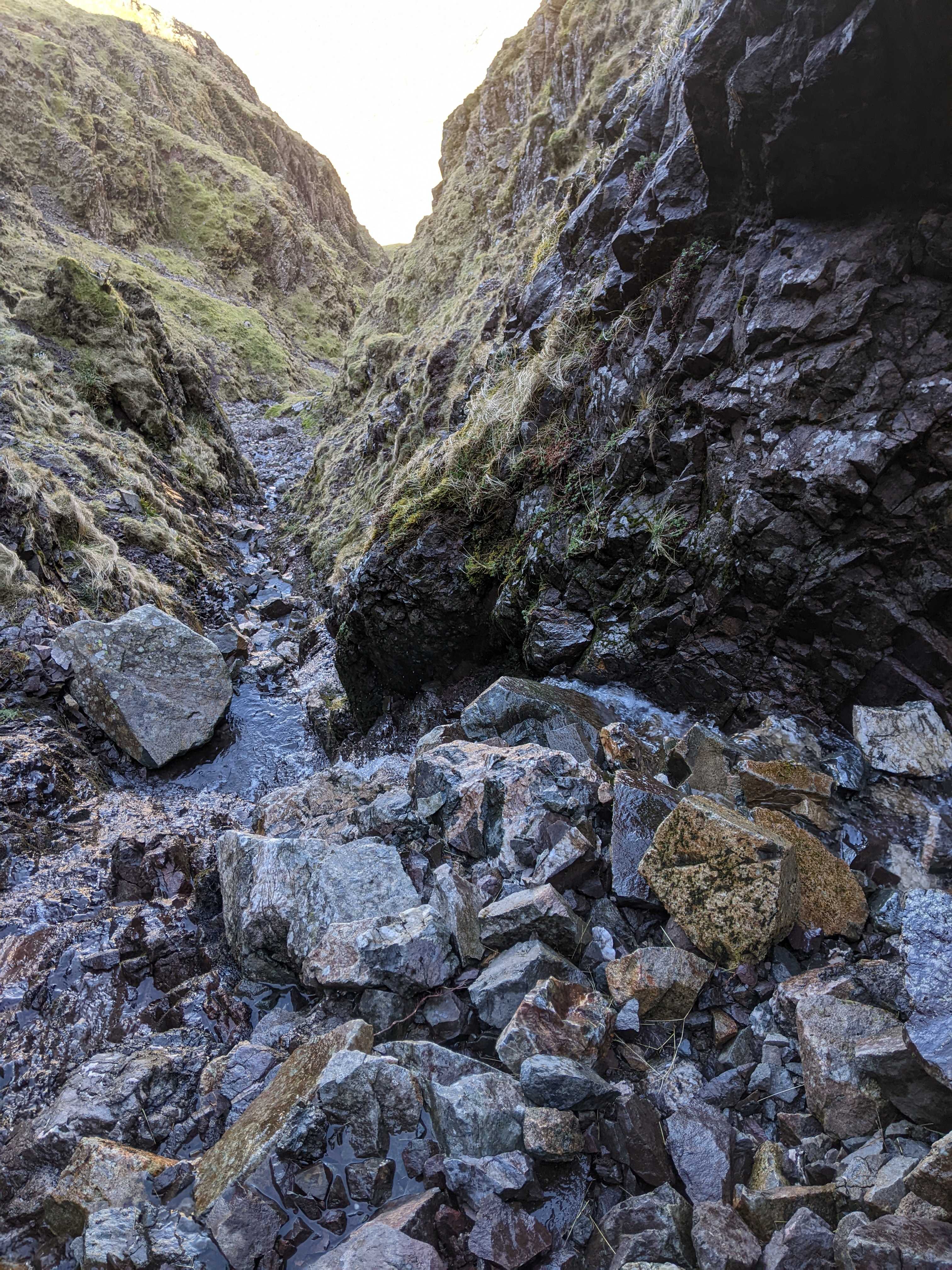
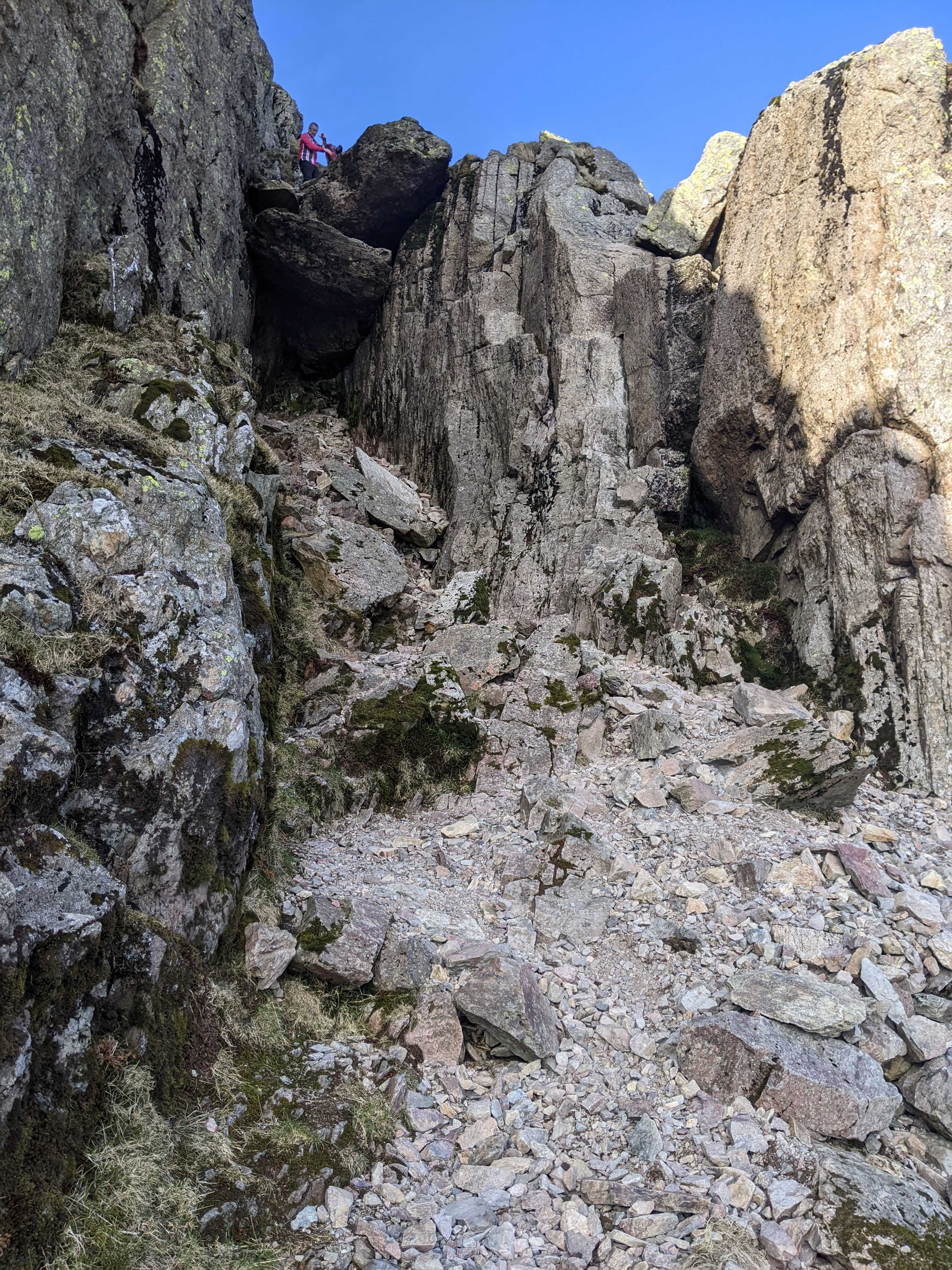
Coming out of the Gill you enter an area called 'the band'. After a bit of looking around I managed to catch sight of what looked like Custs Gully, it was hard to be certain with the glare of the sun above Great End. I scrambled up the Band for a while until I realised that I was close to the top of Great End and had clearly over shot the Gully. It was a shame but I didn't fancy going back down for another look.
From the top of Great End it was a relatively straight forward slog onwards. No real need for route finding and plenty of friendly folks to chat to on the way. The only real thing to note was the lack of water on this stretch. I'd had a two litre water supply to keep me going, but it did start to run low. Given this route stays high for quite a while you don't pass much in the way of water sources. The 'bad step' on Crinkle Crags is a fun highlight, I can imagine it's a bit easier for the tall but don't let it put you off.
On the top of Bowfell I realised that at a push I could probably make it down to the National Trust Campsite in Langdale. Visions of a pub dinner, pint of lemonade and pint of beer are good motivators. Throughout the day I noticed the side walls on my boots were starting to perish, by the time I was making the long and painful descent down via Red Tarn they had all but fallen apart. I have to say it was slightly unexpected, I hadn't used them much in recent years, I don't think they fared well stored in a box in the garage. The total distance (about 18km) didn't really seem to do the day justice, by the end I was physically and also mentally shattered.
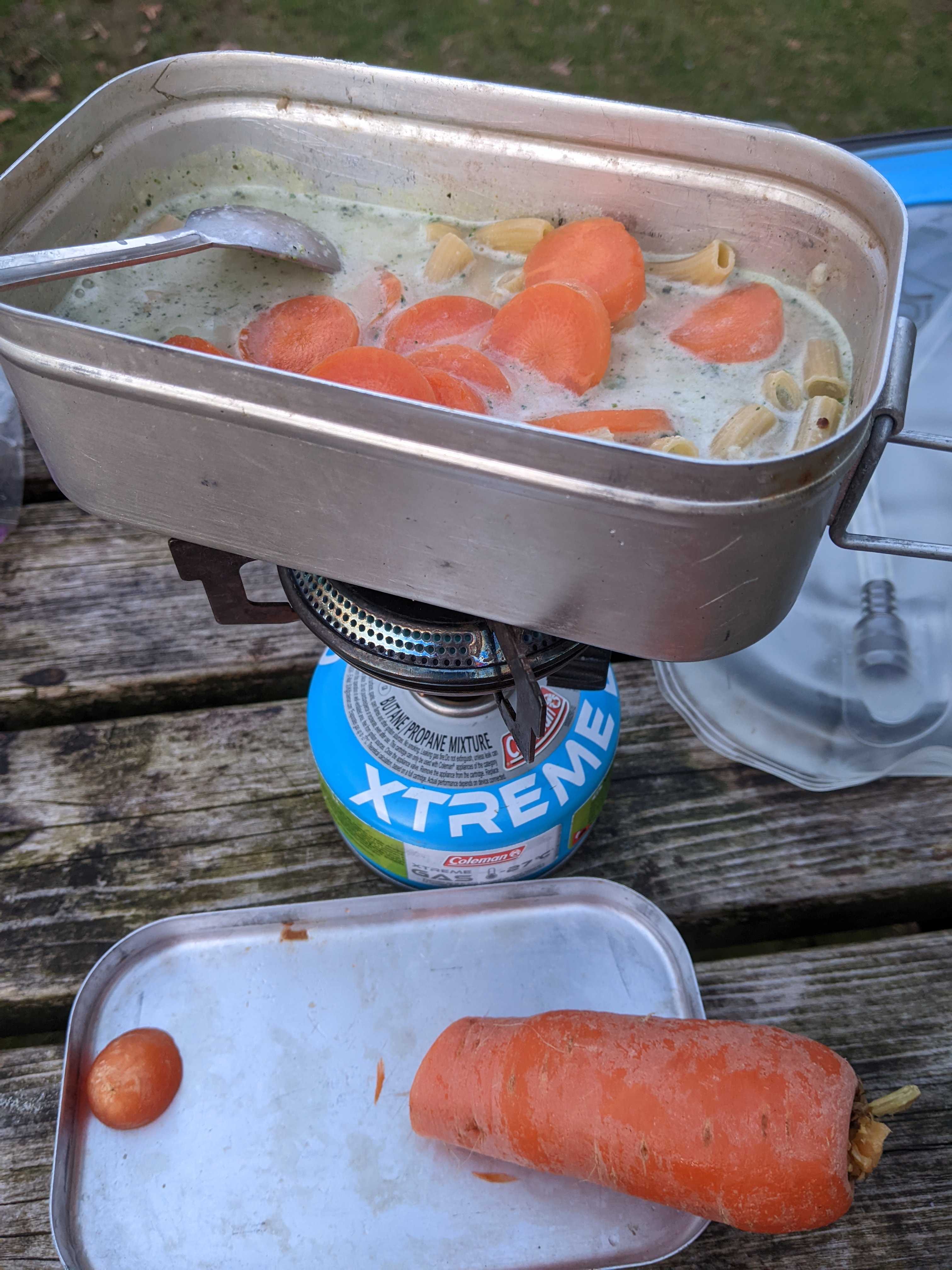
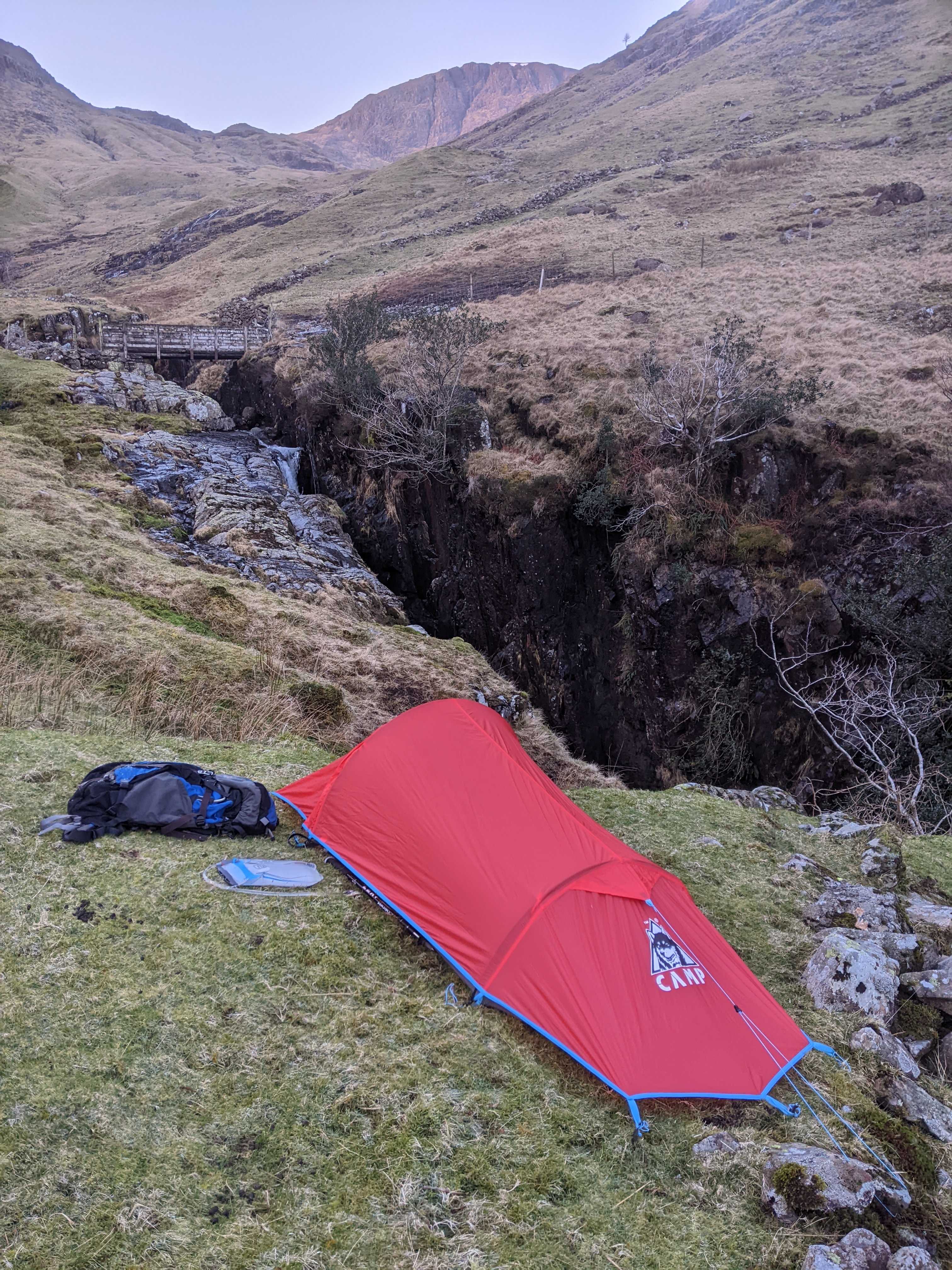
Arriving at Langdale campsite I was horrified to see a sign saying 'Fully Booked'. I walked up the path to try my luck anyway and was elated that the friendly staff wouldn't turn away a walk in. Given how busy the valley was I didn't bother trying my luck in the pubs. Nice warm shower, instant Macaroni cheese (water instead of milk) and another nice cold night.
Comments